
Highlights
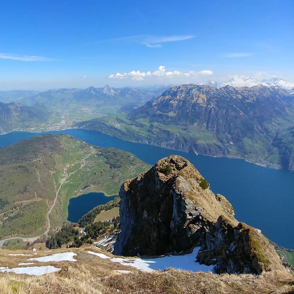
- See the whole stretch of the Vierwaldstättersee lake
- Alps to the south, peek into the valley leading to Gotthard
- Choltalbach stream at the valley

Weather near site
Starting point
There are some “natural” parking spots at Kohltalstrasse (Choltalbach valley).
Notes
- Dog-friendly
- Beautiful Choltalbach down in the valley is worth reward-dipping your toes in after the hike
Food and drinks
Vertical transport
Luftseilbahn Emmetten-Niederbauen starting from Emmetten takes you closer to the top. That can be your alternative starting point then.
Strava activity
(Note: GPS tracking went a bit berserk for the first quarter of the way up.)