
Highlights
- 81m high waterfall Pochtenfall
- Latrejebach valley
- Thunersee and Brienzersee lakes views from top of Morgenberghorn

Weather near site
Starting point
Parking lot at Restaurant Pochtenfall.
Notes
- Short rock scramble (with chain handles) at 2 spots somewhere midway from the Brunnihütte towards the top, but nothing exposed or dangerous
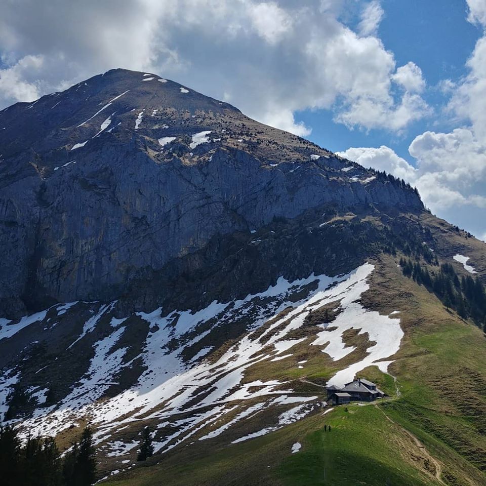
- You can cut the hike short (ca. 600m less vertical) by stopping at Brunnihütte
- Dog-friendly, but not much above Brunnihütte
Food and drinks
- Brunnihütte at the base of Morgenberghorn
- Restaurant Pochtenfall at Suld valley (start/finish)
Vertical transport
None.