
Highlights
- Part of Entlebuch UNESCO biosphere
- Two small lakes Änggelauenenseeli and Sewenseeli
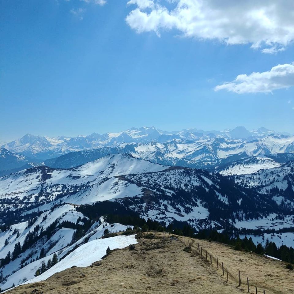
- Waves of mountain chains to the south

Weather near site
Starting point
Restaurant Stäldeli with a parking lot.
Notes
- Steep part for the last 1km of the approach to the top from the north (after Änggelaueneseeli) – additionally dangerous as there was still snow this time of year
- Dog-friendly, but not via this (north) route – come the other way around
Food and drinks
- Restaurant Stäldeli
- Passhöchi Beizli, if coming from Glaubenbergpass
Vertical transport
None.