
Highlights
- Views around lake Vierwaldstättersee
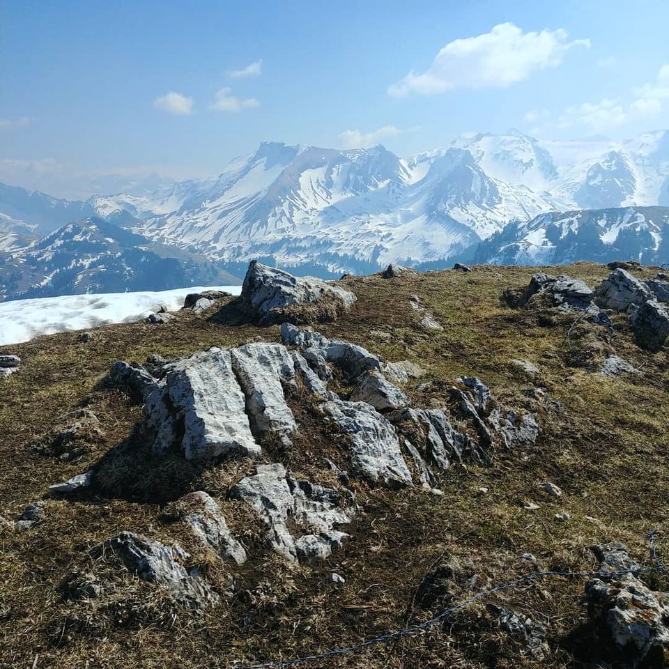
- Another one of the local “pyramid”-shaped peaks

Weather near site
Starting point
As it was during the COVID-19 period “lockdown”, I drove up by car for the part of the hill and used some wild parking in Brunni street.
However, in “normal” times you have 2 alternative options / approaches, which you can use to shorten the hike up/down/both – check Vertical transport section below for details.
Notes
- Use the northern ridge up/down only if there is no snow – otherwise it can get a bit tricky when slippery
- Dog-friendly
Food and drinks
- (none along the route I did)
- A couple of spots around Klewenalp
- Pilgerhaus Maria Rickenbach if coming from the side of Niederrickenbach
Vertical transport
- Beckenried – Klewenalp cable car
- Dallenwil – Niederrickenbach cable car