
Highlights
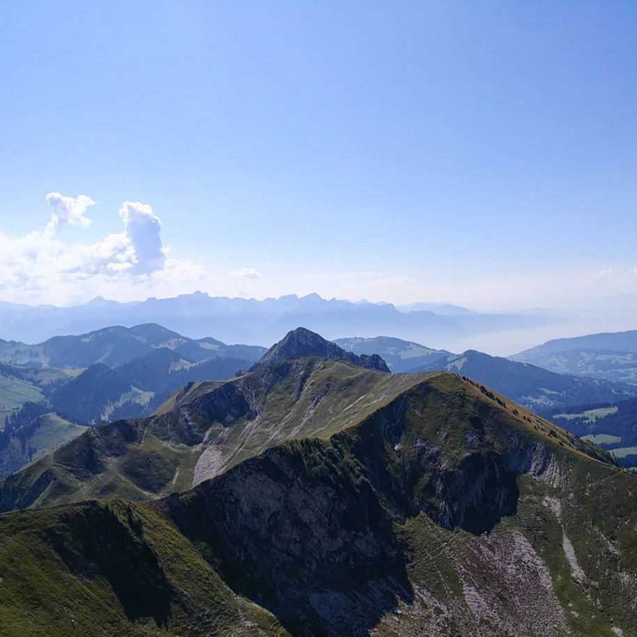
- Panoramic views across Gruyère regional nature park, Lac de Neuchâtel and Lac Léman
- Nice ridge hike from the top towards Teysachaux

Weather near site
Starting point
Funicular Moléson-sur-Gruyères with a parking lot.
Notes
- Take the funicular to Plan-Francey, then 25min approach hike to 2 route options for via ferratas
- Plenty of hiking trails around too
Food and drinks
- Plan-Francey at the start
- Sommet at the top
Vertical transport
Funicular to Plan-Francey, cable car to Moléson.