Highlights
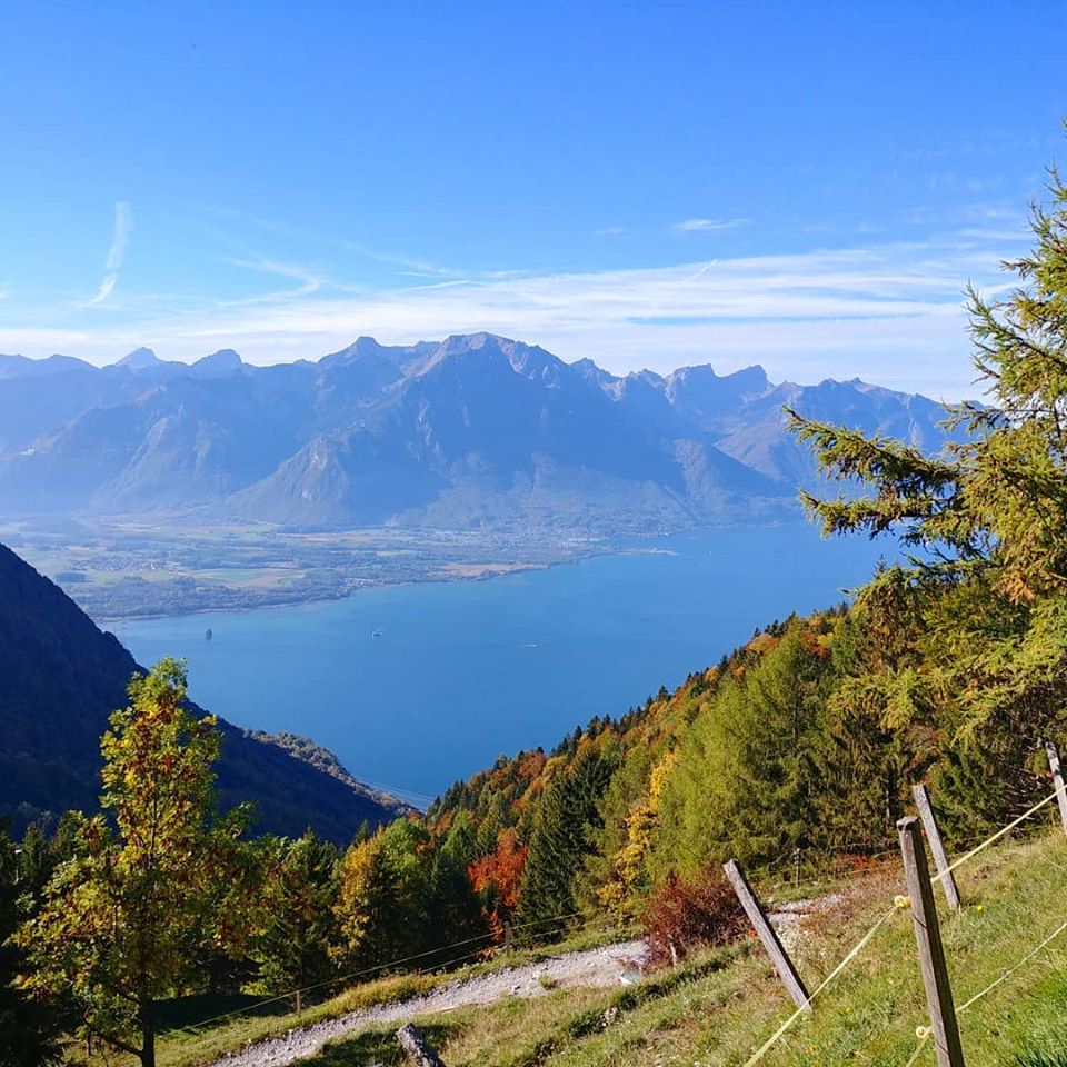
- Lac Léman
- Views of the Alps from Eiger to Mont Blanc
- Alpine garden “La Rambertia“, marmot colonies
Technical details
| Altitude | 2042m |
| Distance | 8.5km |
| Ascent | 1000m |
| Descent | 0m (train down) |
| 2h15 |
GPS route: Rochers de Naye

Weather near site
Starting point
Caux train stop.
Notes
- Beautiful in autumn
- Dog-friendly
Food and drinks
- Restaurants Alpin and Plein Roc on top
Vertical transport
Cogwheel train connecting Montreux with the top.
