
Highlights
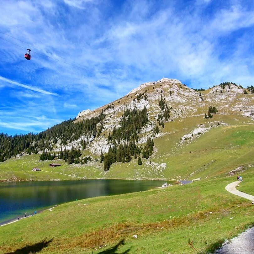
- Lakes Hinterstockensee and Oberstockensee
- Thun and piece of Thunersee from the top
- Simmentaler cows 🙂

Weather near site
Starting point
Stockhornbahn (with parking lot), take the cable car up to Chrindi.
Notes
- This was a quick hike / trail run combination, so don’t take the time for granted (I estimated what it could have been for a hike in the stats above)
- There are many alternative hike paths/circles, check the map once there
- You can also take the cable car straight to the top, from Chrindi
- Dog-friendly
Food and drinks
- Berggasthaus Oberstockenalp halfway up
- Panoramarestaurant Stockhorn at the top
Vertical transport
Stockhornbahn cable car, part or all the way up.