
Highlights
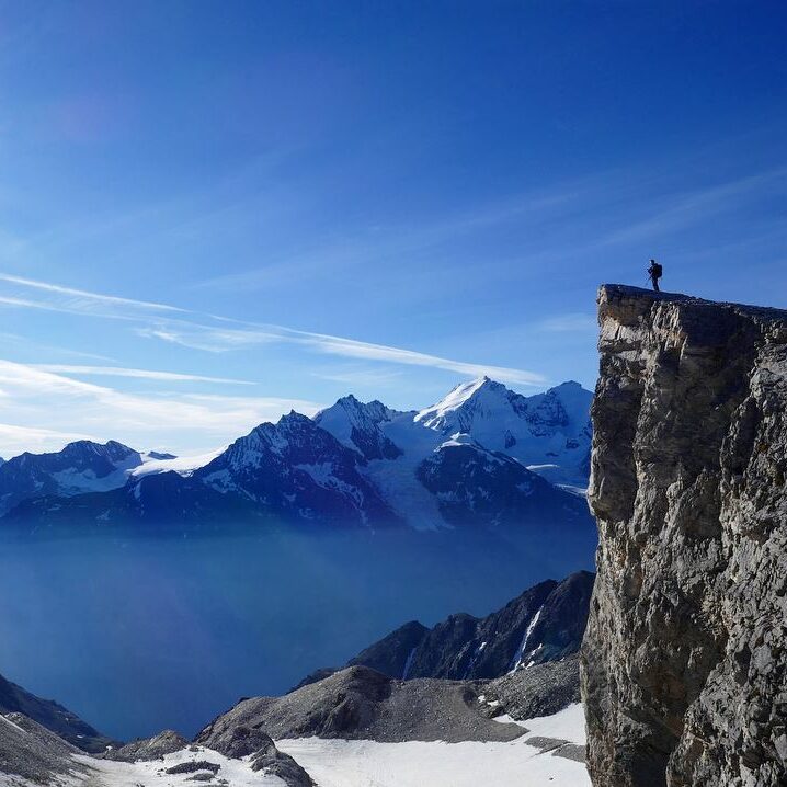
- Highest hikeable trail (without mountaineering equipment) in Swiss Alps at 3610m
- Epic alpine glacial scenery
- Views across multiple 4000m peaks of Mischabel and Monte Rosa massifs, including Weisshorn
Technical details
| Altitude | 3610m |
| Distance | 18km |
| Ascent | 600m (valley-hut) + 1100m (hut-top) |
| Descent | 600m + 1100m |
| 3.5h (valley<->hut) + 4.5h (hut<->top) |
GPS route: Barrhorn

Weather near site
Starting point
Sänntum parking at the dead end of the Turtmanntal valley.
Notes
- Proper boots and safe steps needed. Carry hiking poles for stability. Parts can be frozen/snowy in the mornings, even in the summer.
- Dog-friendly, although borderline depending on the freeze/snow conditions.
- If you feel extremely fit, you can manage the whole go (1700m up and down) in one long take.
Food and drinks
- Turtmannhütte, where you can also overnight (as we did)
Vertical transport
None.
Strava activity
Note: I recorded only the hut to summit parts. Valley to hut sections are around 610m vertical, and 2h & 1.5h up & down, respectively.